Vertical Alignment (Menu - Build)

1. Configurations
This dialog is to edit the configuration of climbing Lane, ground level and layer.

1.1 Climbing Lane
- Entering Speed : speed of entering a car into climbing lane.
- Max-Climbing Speed : the maximum vehicle speed in climbing lane.
- Beginning-Speed of Full-Width : vehicle speed at the beginning point of full width in climbing lane
- Full-Width Lane : except taper, width of climbing lane.
- Ratio of Entering Taper : full-width over length of entering taper
- Ratio of Ending Taper : full-width over length of ending taper.
- Minimum Full-Width Length : length of climbing lane, except tapers.

1.2 GL/Layer
- Only STAs (By TIN) : if you want to get only one ground level on station, check it. But if getting the inflection points between stations, do not check it.


- Depth of Ripping : depth of cutting rocks by dozer ripper.
- Depth of Soft Rock : depth of blasting rock which is softer than hard rock.
- Depth of Hard Rock : depth of blasting rock which is harder than soft rock.
- Type of input[Layer] : if you select “Center Base”, you edit the elevations in the layer dialog, which are depths from ground level. If Selecting “Absolute Elevation”, you edit the elevations, which are elevations.
2. Build All
Calculate ground elevations, layers, design levels and climbing lane,
3. Build GL
Calculate ground elevations.
4. Build Layer
Calculate layers.
5. Build DL
Calculate design levels.
6. Build Climbing Lane
calculate climbing lane.
7. Check Alignment.
If vertical alignment inputs have errors by specification., show them.
8. Clean
Delete the results by command ‘Build All’ , ‘Build GL’, ‘Build Layer’, ‘Build DL’ and ‘Build Climbing Lane’ .
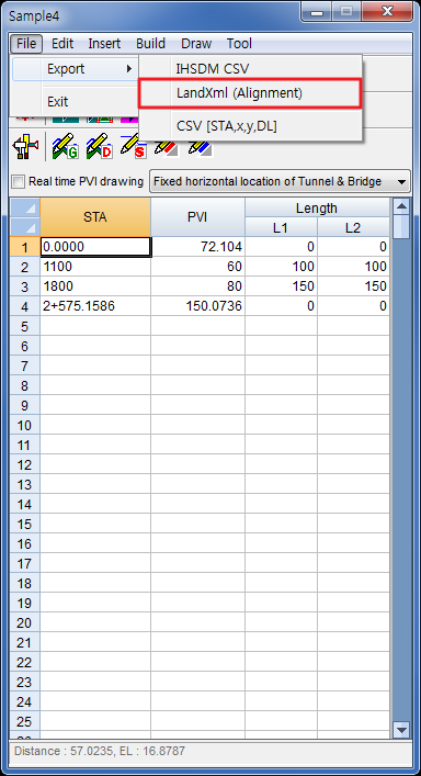
9. View

show the report of PVI (point of vertical intersection).

9.2 DL & GL
show the result of ground levels and design levels by command ‘Build GL’ and ‘Build DL’.

- STA : station
- Distance : cumulative distance(chainage)
- GL : ground level
- DL : design level
- DL-GL : design level minus ground level
- e : gap between PVI elevation and design level.
- slope : slope of station.
- x, y : x -coordinate, y-coordinate
- azimuth : azimuth of station
- index
BP : Beginning Point
EP : Ending Point
BTC : Beginning of Transition Curve (Spiral Curve)
ETC : Ending of Transition Curve (Spiral Curve)
BC : Beginning of simple Curve
EC : Beginning of simple Curve
BVC : Beginning of Vertical Curve (Parabolic Curve)
EVC : Ending of Vertical Curve
ST : Starting of Tunnel
ET : Ending of Tunnel
TN : Tunnel station
SB : Staring of Bridge
EB : Ending of Bridge
BR : Bridge Station
9.3 Layer
show the report of layer

9.4 Climbing lane


Comments
Post a Comment